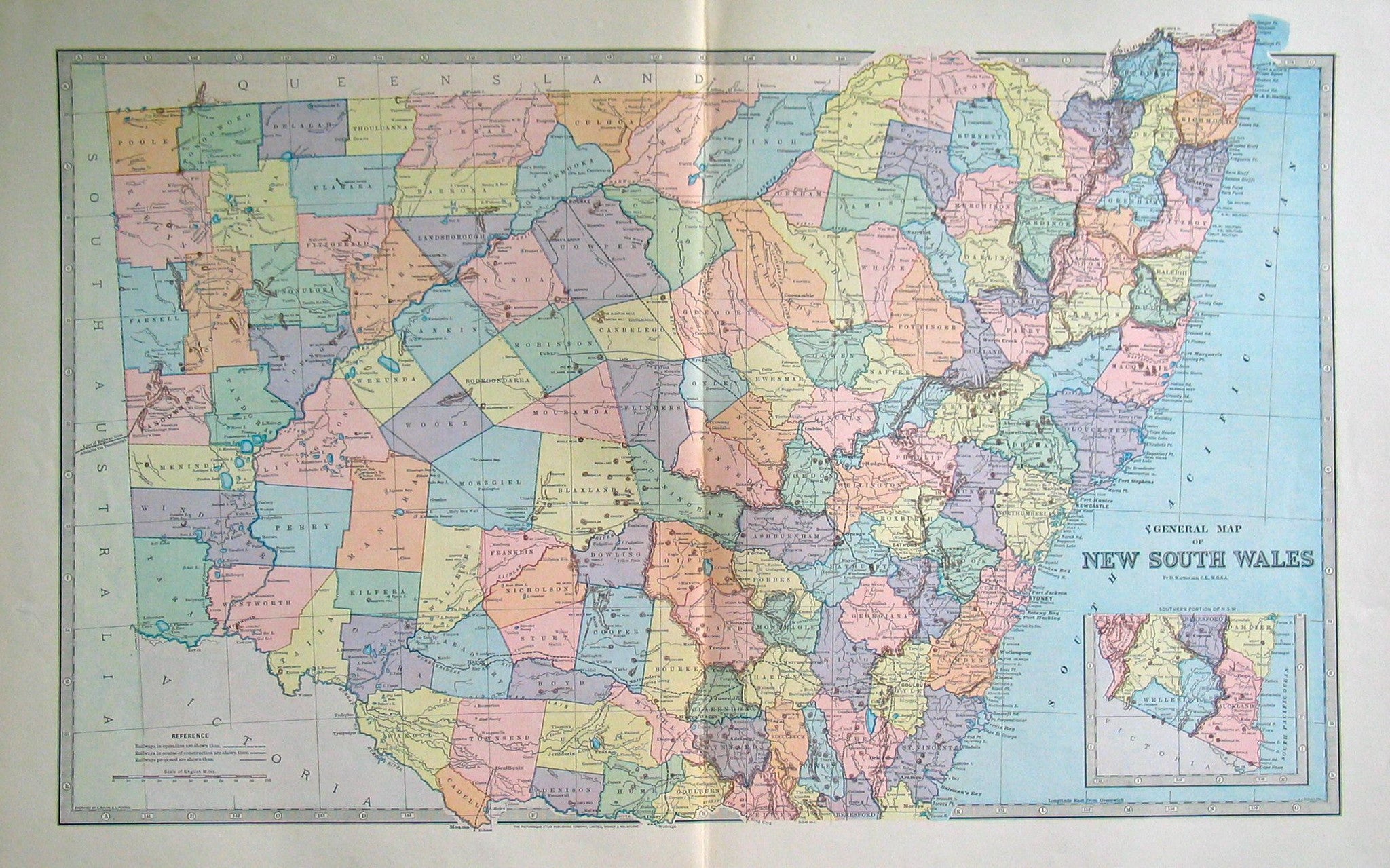
Colourful map of New South Wales with counties, towns, railways and relief shown. Inset map of Southern portion of N.S.W.
| Cartographer | D. Macdonald C.E., M.G.S.A. |
|---|---|
| Date | 1889 |
| Dimensions (mm) | 616 x 370 |
| Engraver | A.Dulon and L. Poates |
| Place | Sydney and Melbourne |
| Publication | Picturesque Atlas of Australasia |
| Publisher | The Picturesque Atlas Publishing Company Limited |
| Condition | Excellent. Centre fold. Vibrant colouring. Thick paper. Detailed index on verso. |